The 2020/21 evaluation report published today provides evidence on the key impacts of the Places for Everyone grant fund, and demonstrates the contributions of the programme to the outcomes set out in Transport Scotland’s Active Travel Framework.
The report also highlights how the programme performed during the pandemic and the baseline monitoring currently being undertaken for projects in the design stage.
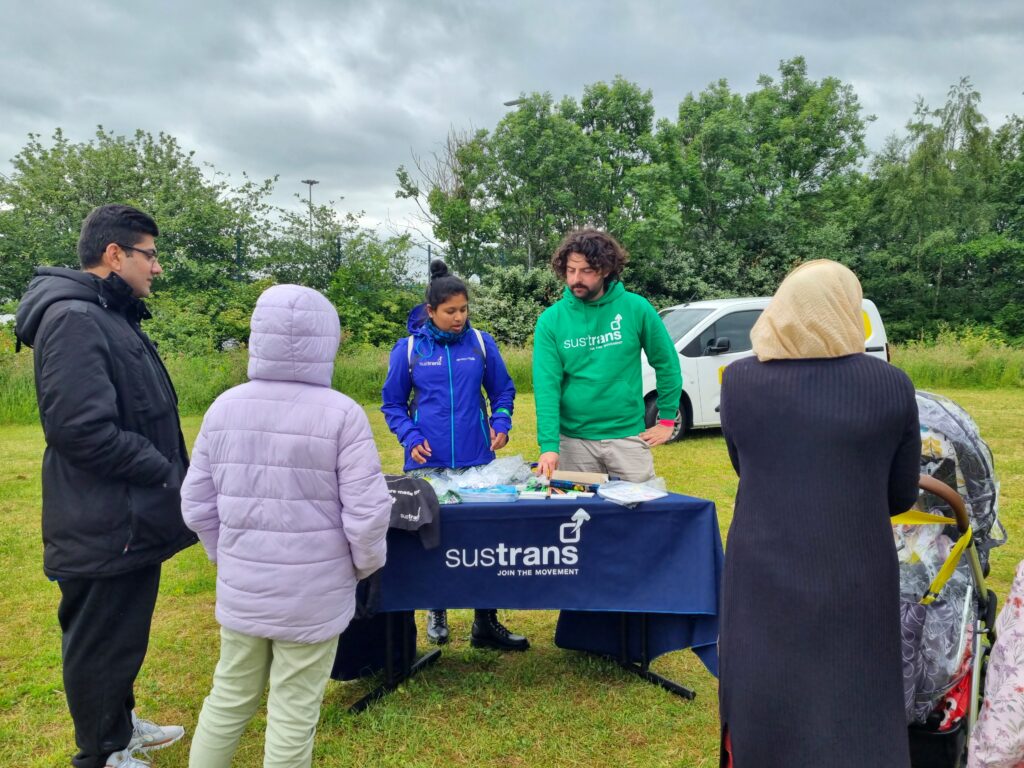
The Places for Everyone programme is funded by the Scottish Government and administered by Sustrans.
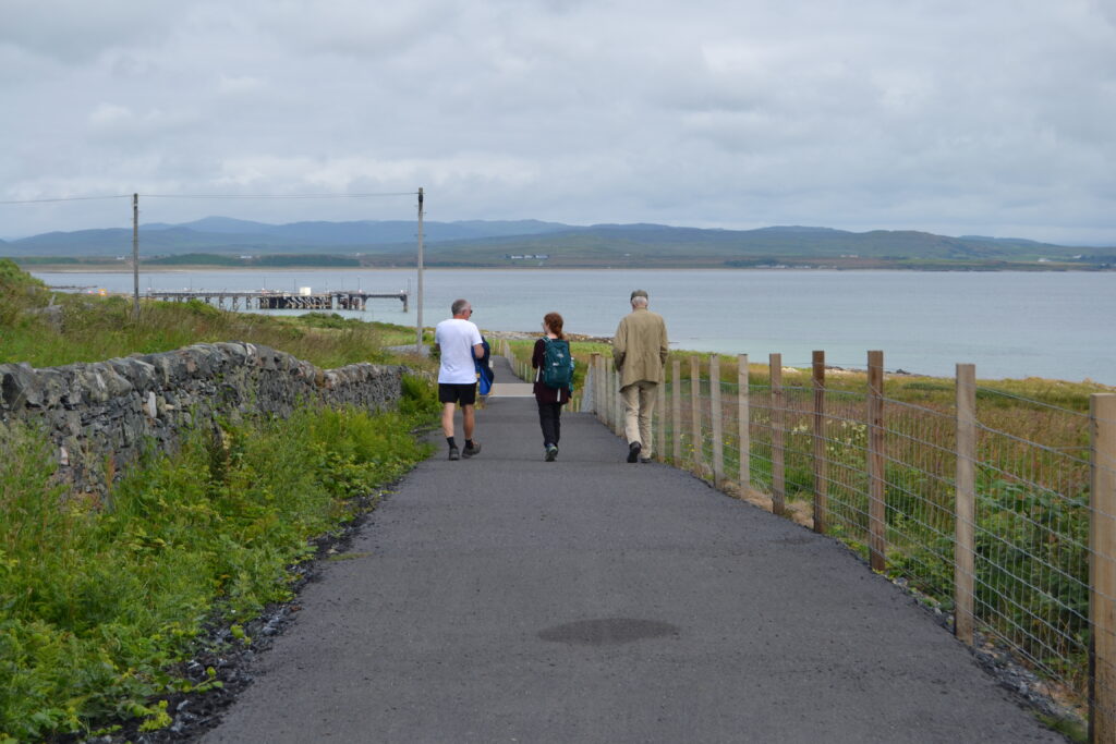
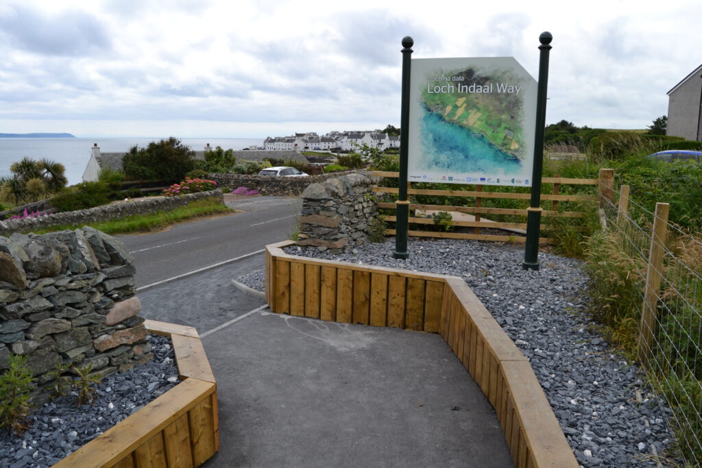
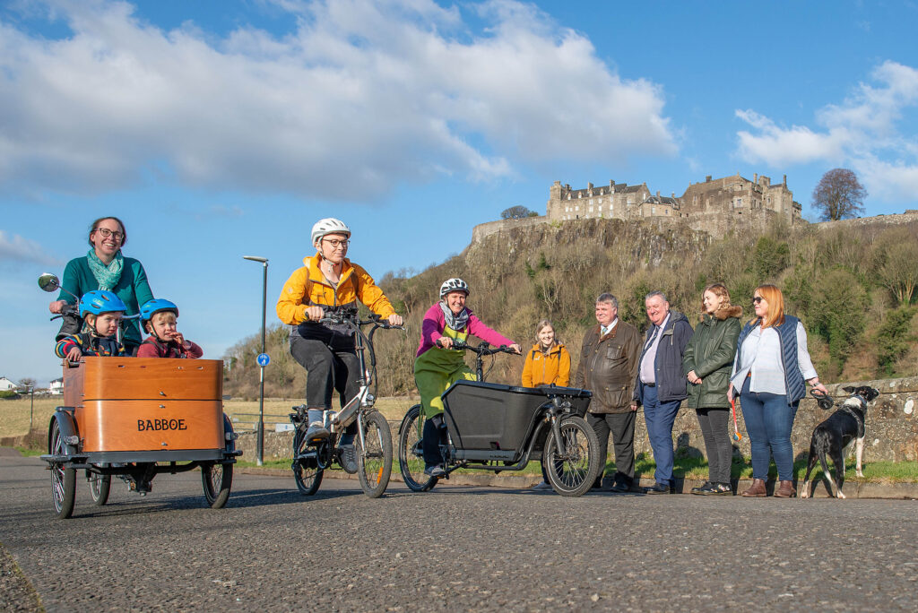
The programme is open to a range of organisations in Scotland – including local authorities and community groups – that enables the creation of active travel infrastructure.
In addition to funding, the programme also provides advice and support to partners on establishing safe, attractive, healthier places in our urban and rural areas.
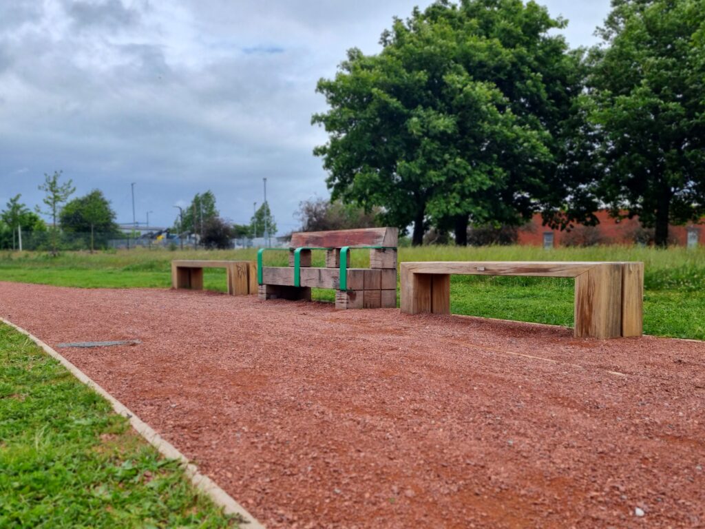
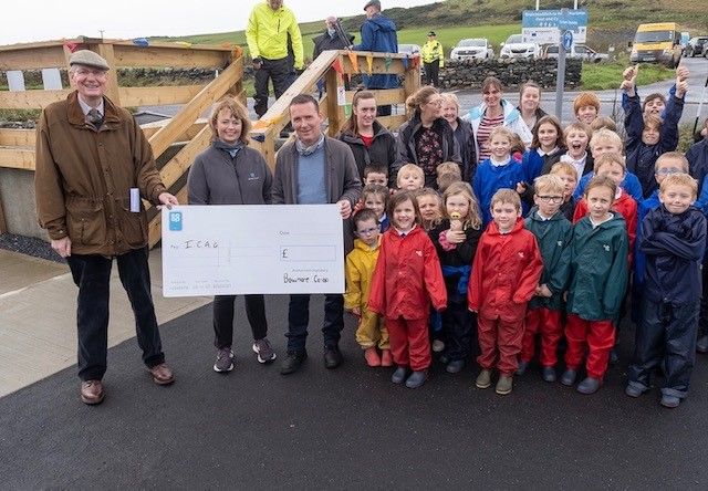
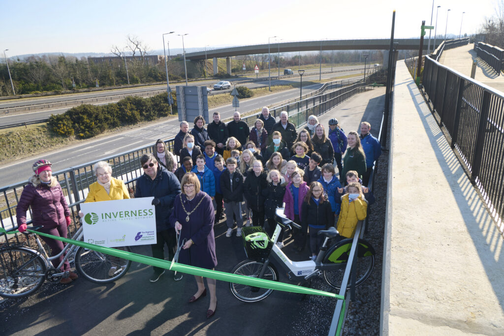
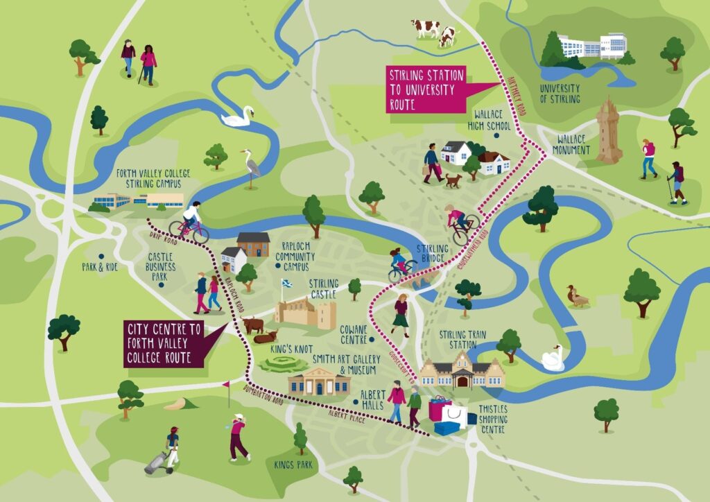
There are currently around 250 projects in place or in development as part of the Places for Everyone programme.
Impact of the programme
The report aggregated data from projects across the lifespan of the Places for Everyone programme up to and including the 2020/21 funding year. This includes Sustrans Scotland’s previous Community Links and Community Links Plus grant funds.
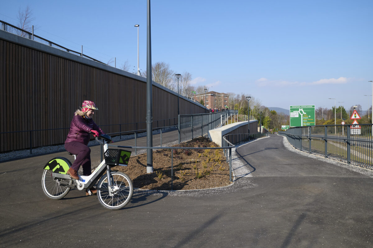
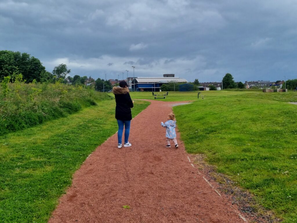
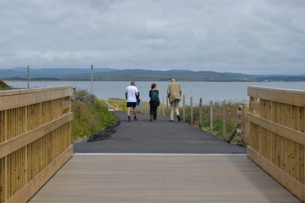
One of the key findings is that walking, wheeling, and cycling numbers increased after the completion of infrastructure projects.
Results from an analysis of 30 projects showed a 54% average estimated rise in active travel trips after initial delivery.
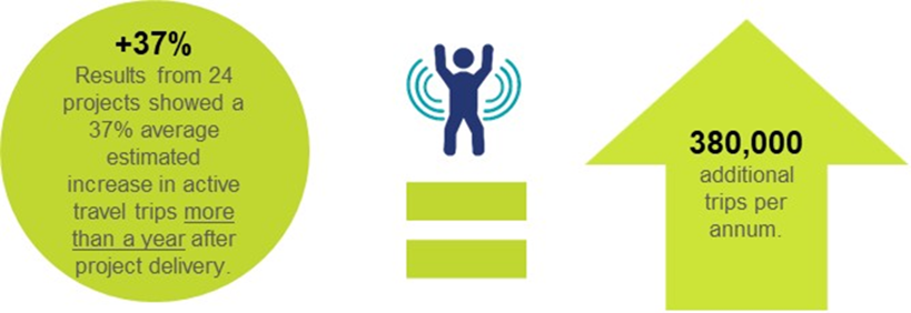
Further study showed that the increase in active travel was sustained one year after delivery, with 24 projects averaging a 37% increase in trips.
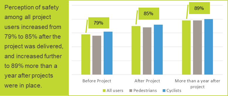
The monitoring also suggests that the programme led to an improvement in the perception of safety among both pedestrians and cyclists.
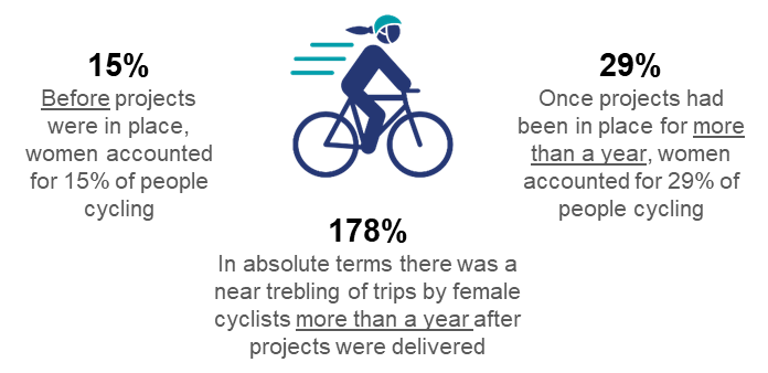
This was particularly evident among groups who traditionally regard safety as a barrier to active travel, including women, the elderly and disabled people.
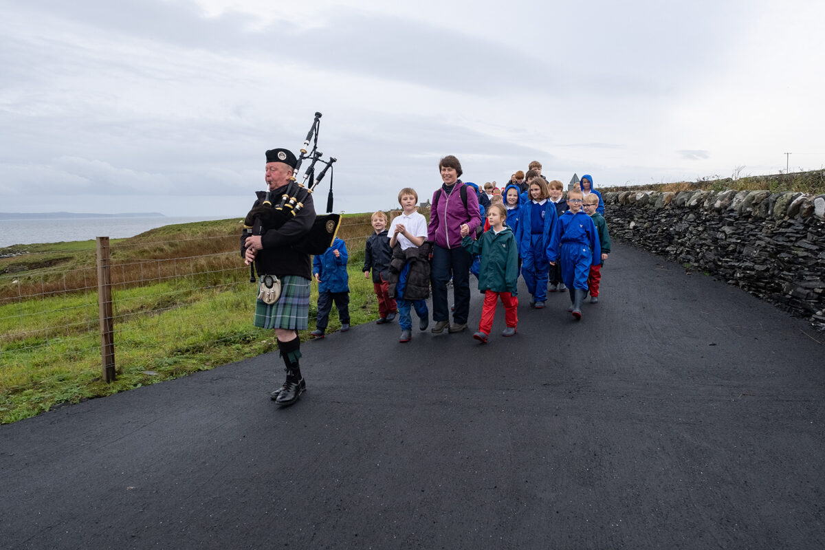
Local people’s perceptions of community involvement in planned Places for Everyone projects were equally encouraging.
In Glasgow, a survey of 984 local residents found that 71% felt the Connecting Woodside project would either greatly or slightly improve the sense of community in their area.
Monitoring and evaluation during the pandemic
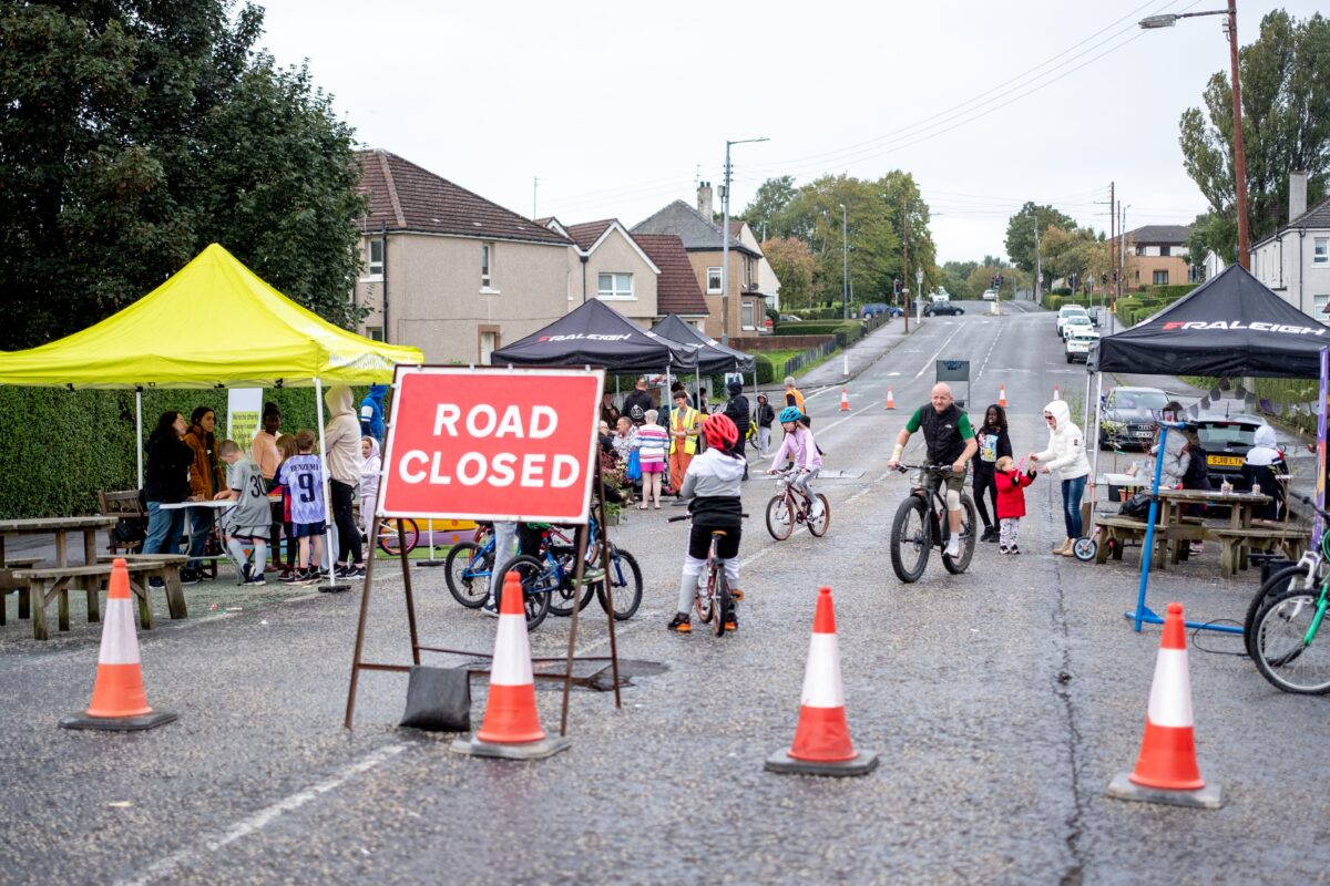
Results show that Places for Everyone projects were particularly beneficial to communities in the midst of the Covid-19 pandemic.
The programme helped mitigate against some of the impacts at local level by providing safe active travel options for key workers and others.
The projects saw increases in walking, wheeling and cycling during a period of unparalleled societal change.
In Edinburgh, for example, the Innocent Railway path project saw a 344% growth in cycling between 2014 and during the pandemic in 2020.
Looking ahead
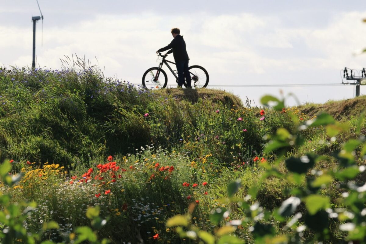
The Places for Everyone programme is committed to enabling more people in Scotland to walk, wheel and cycle for their everyday journeys.
The Research and Monitoring Unit are continuing to monitor a sample of projects currently at design stage, and will update their analysis with projects from 2021/22 and 2022/23.
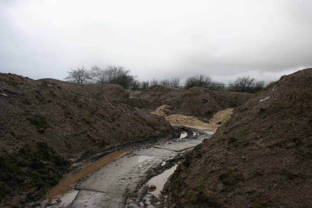
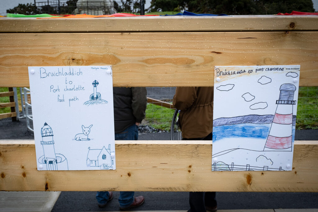
Planned work includes upgrading active travel routes, improvements to public spaces in our towns and cities, connecting communities and key hubs and addressing local safety issues.
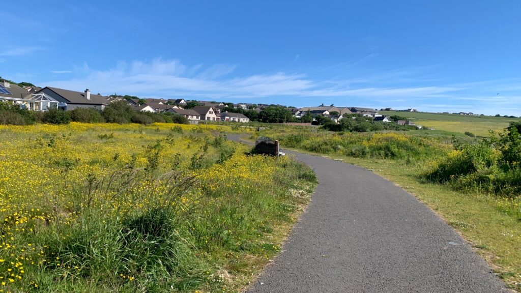
This highlights the variety in the programme’s work, with projects ranging from rural to urban and village to city.
It also evidences Places for Everyone’s contributions to wider development projects such as local masterplans and flood defence schemes.
Nigel Donnell from Sustrans’ Research and Monitoring Unit, said:
“We’re really pleased to be able to share this evaluation report. It highlights that the Places for Everyone programme is helping people throughout Scotland to walk, wheel and cycle for more of their everyday journeys.
We are really proud of everything it has achieved so far, and with around 250 projects in place or in development the fund will continue to play an important role in creating safer, more attractive, healthier, and inclusive communities.
We’d like to thank Transport Scotland for providing the funding to facilitate the Places for Everyone fund, and our delivery partners whose hard work has ensured the success of the programme”.
The full report is available on request, if you would like to find out more contact nigel.donnell@sustrans.org.uk.