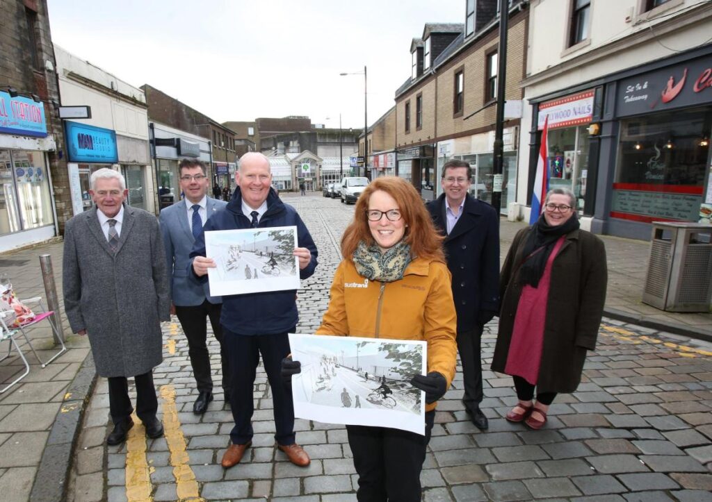
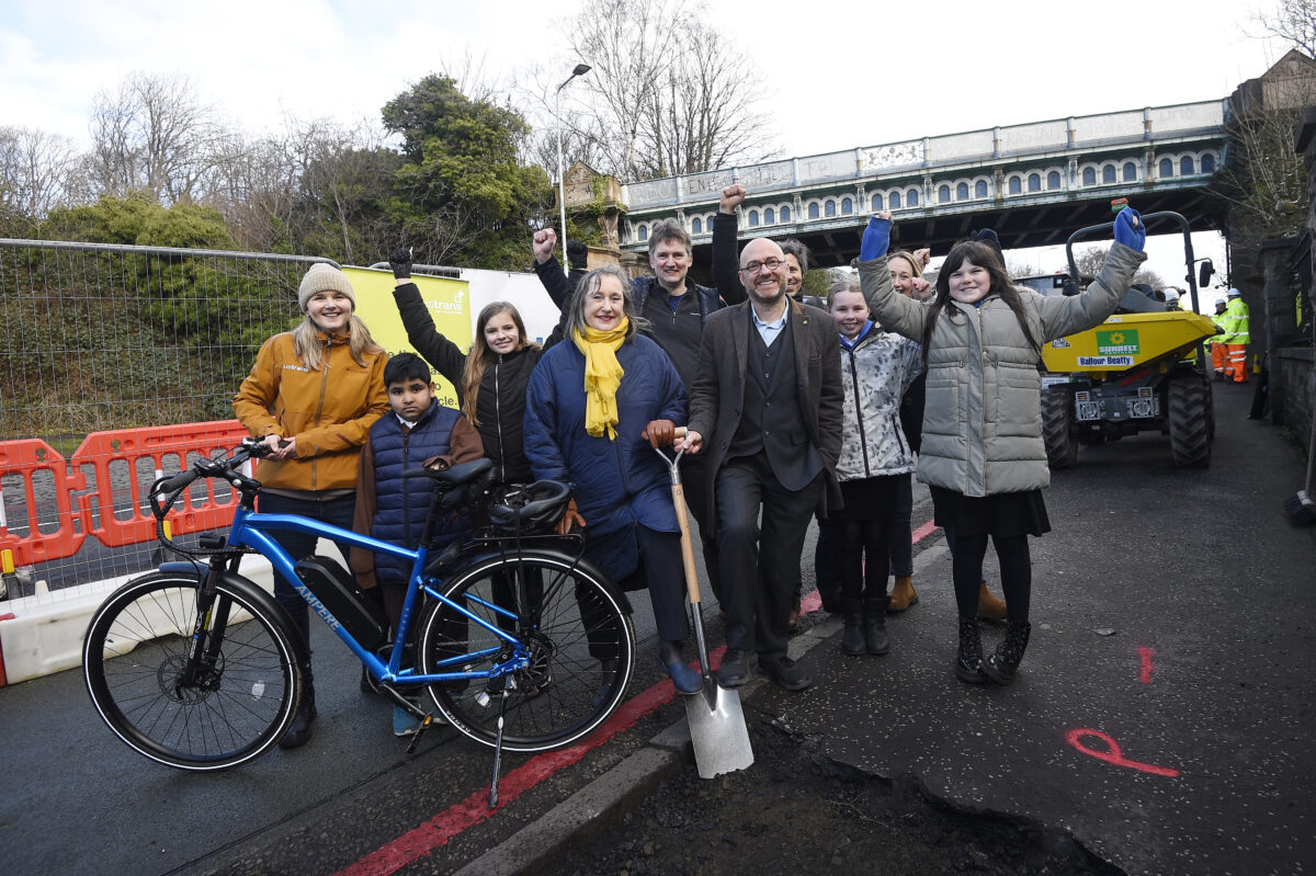
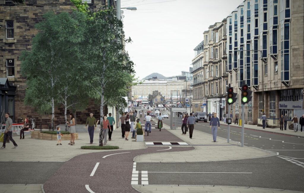
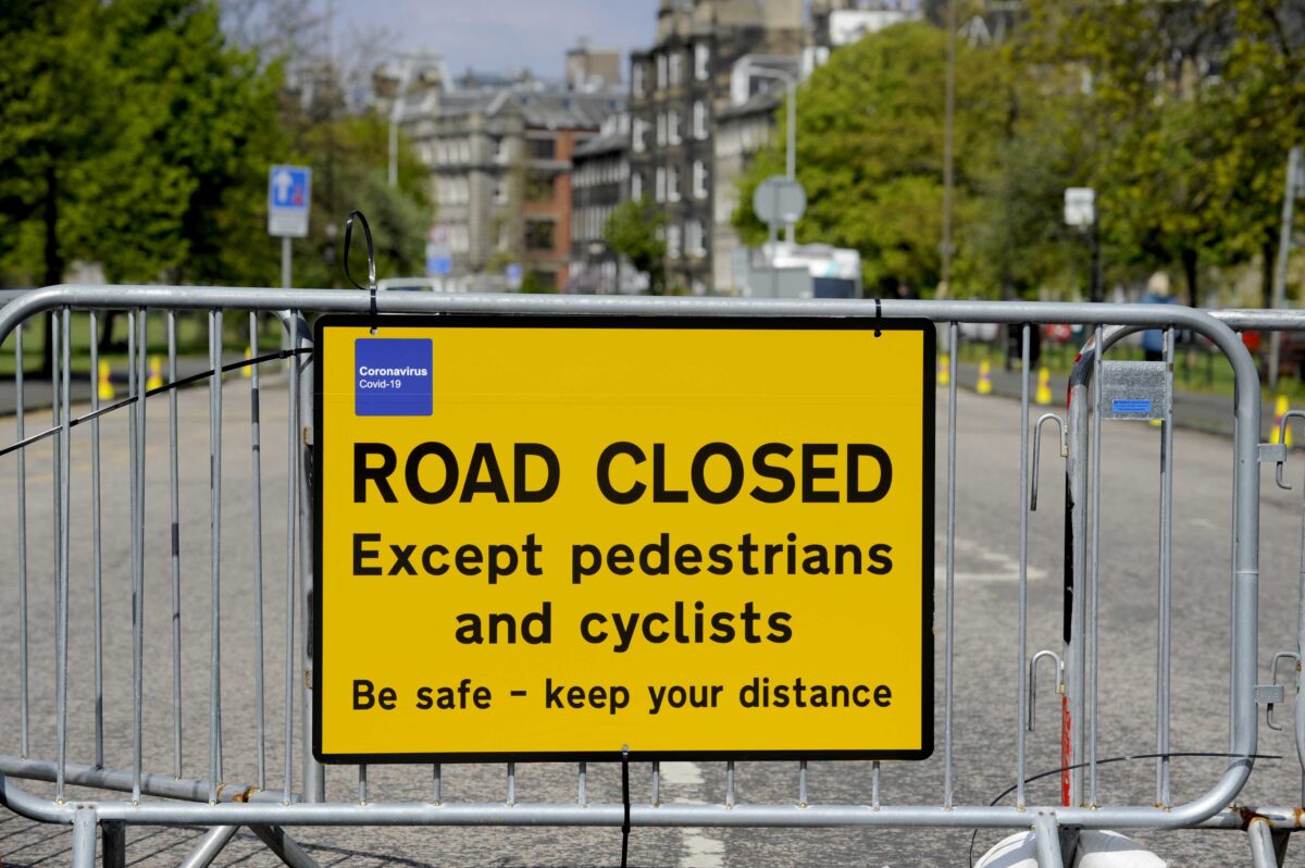
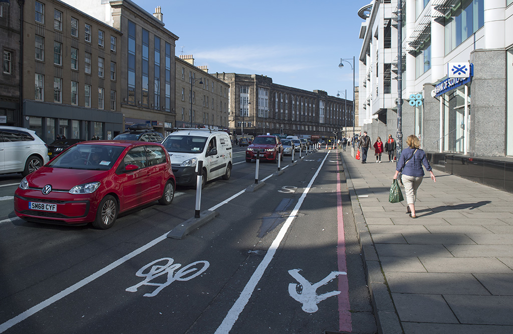
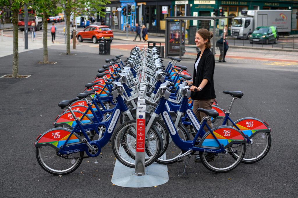
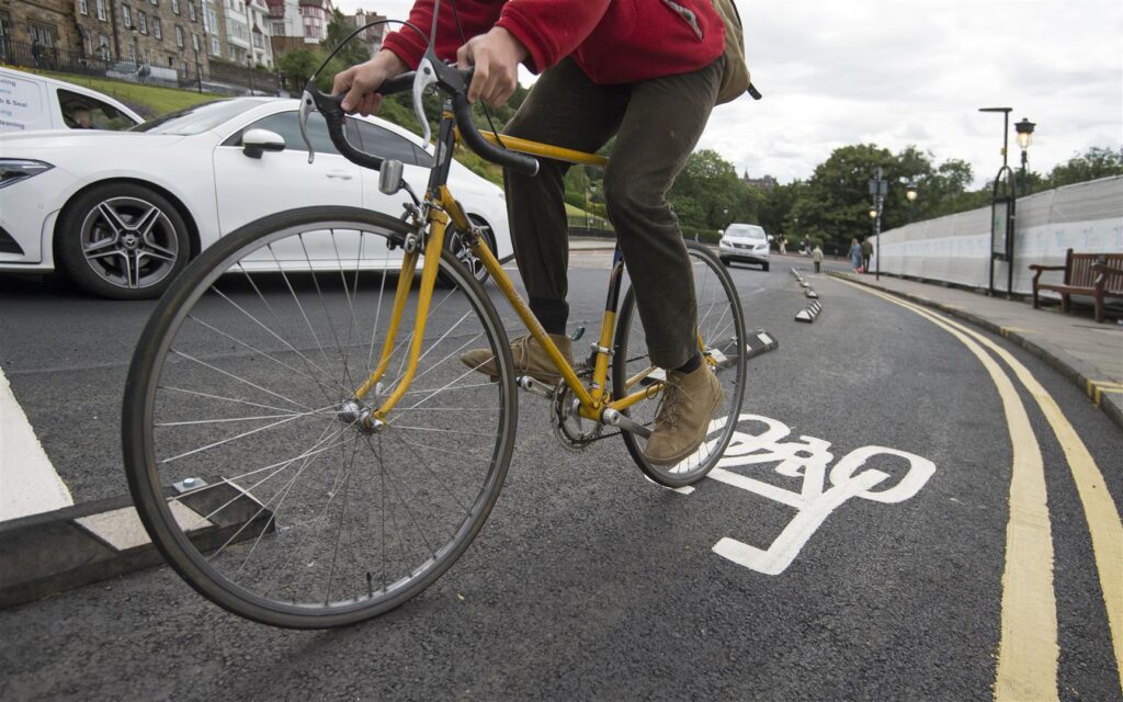
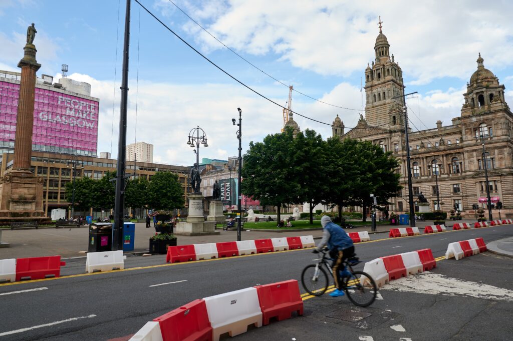
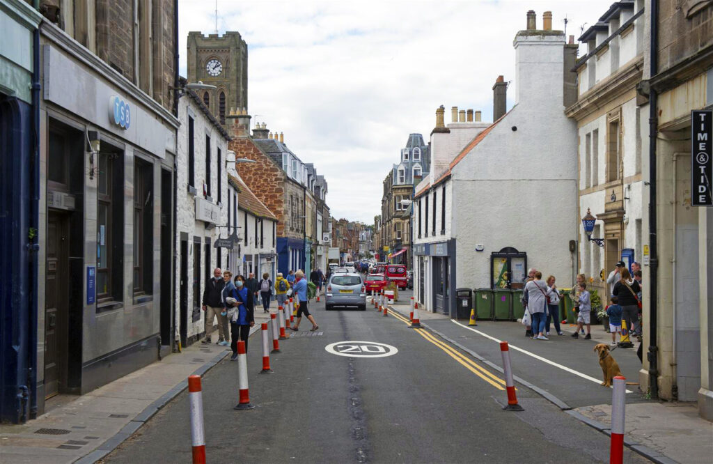
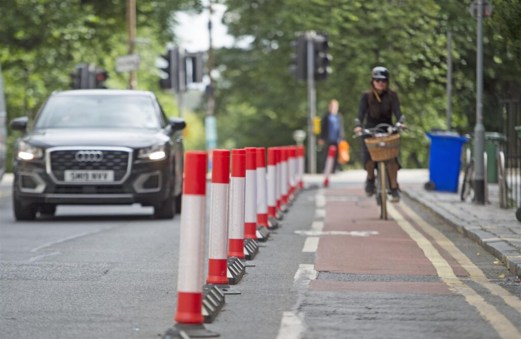
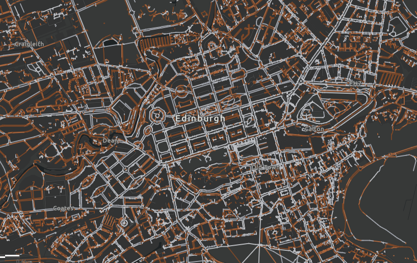
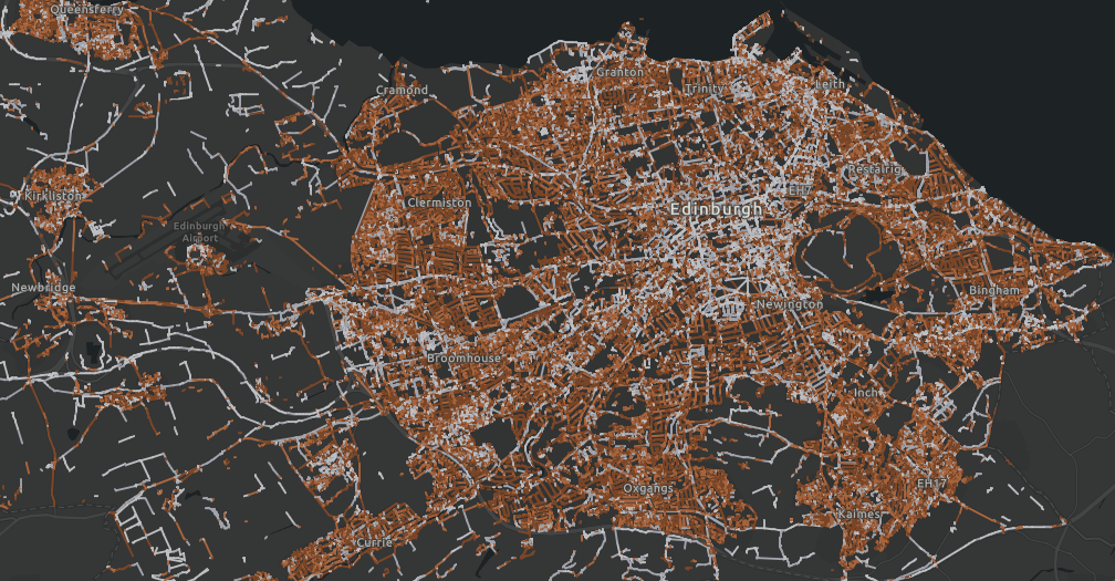
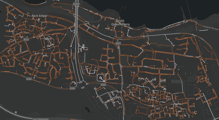
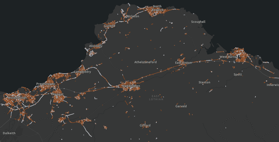
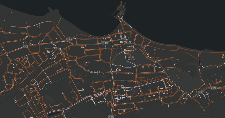
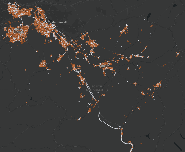
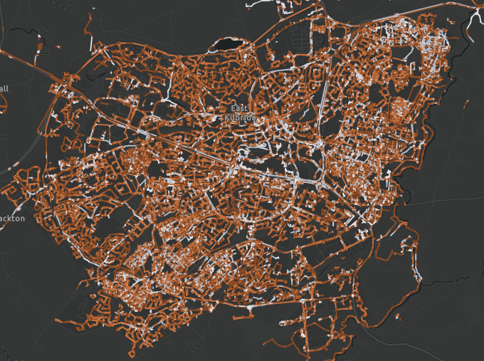
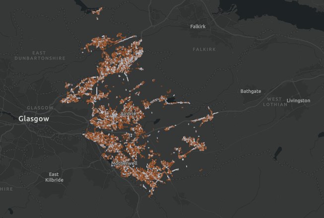
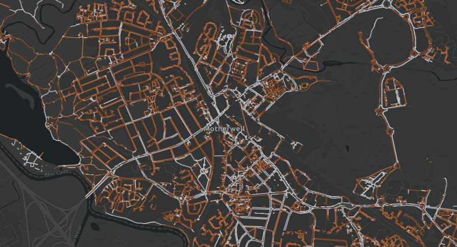
Spaces for People is the Scottish Government’s temporary active travel infrastructure programme, administered by Sustrans Scotland. It was launched in May 2020 as a response to the COVID-19 crisis. The programme allocated a total of £33m for active travel infrastructure measures. 34 partners, mostly local authorities, claimed funding through the programme for a range of projects that enabled safe active travel during the pandemic.
It enabled local authorities to install temporary measures to help people on foot, bike or wheels get about safely during the pandemic.
850 measures installed including:
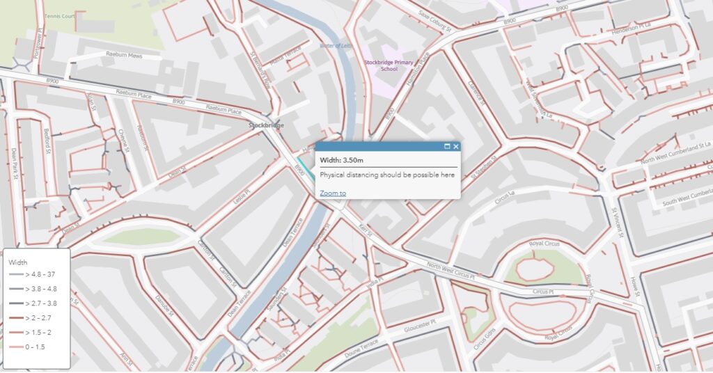
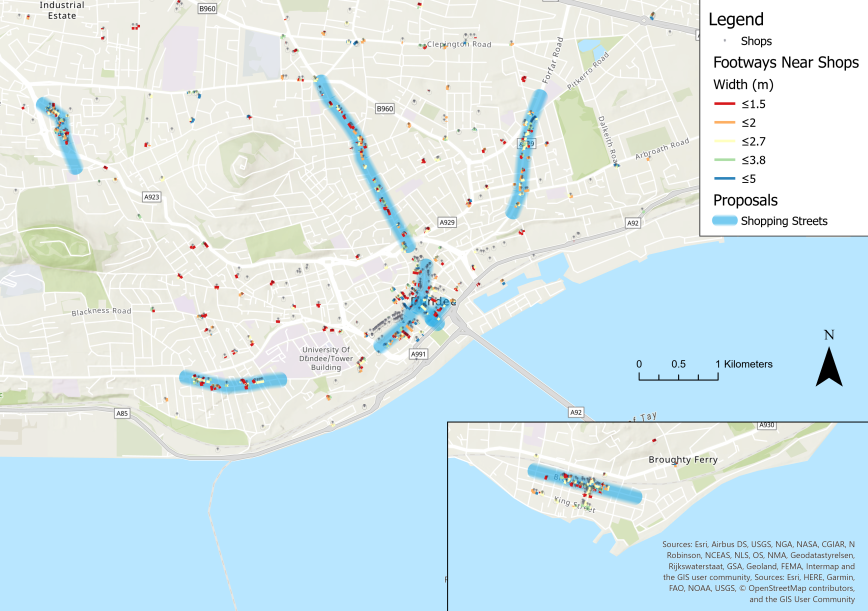
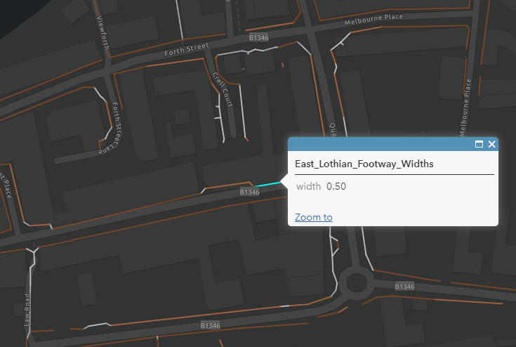
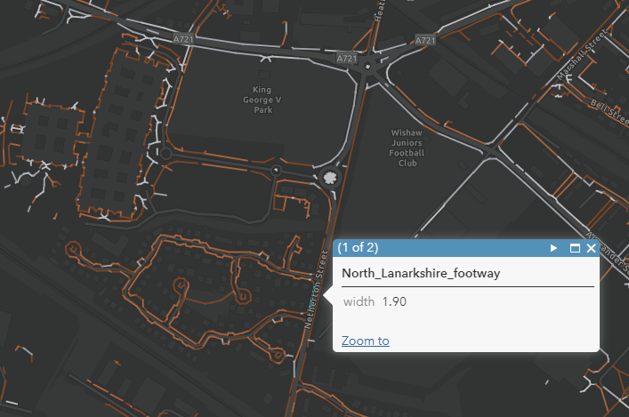
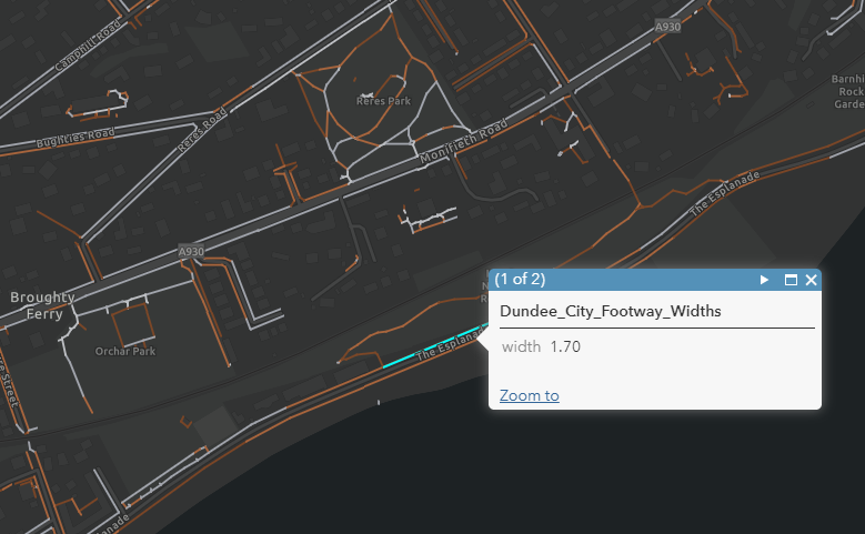
- 192 Footpath Widening stretching 41.4km
- 27 Crossing Upgrades
- 70 Cycle lane (Segregated) stretching 79.4km
- 14 Cycle lane (Non-segregated) stretching 25.3km
- 219 Cycle Parking
- 56 Street Closure stretching 28.9km
- 24 Street reduction (20mph) zones
- 30 Speed reduction (Other) stretching 84.1km
- 168 Vegetation cut back stretching 209km
- 81 Other measures
Provided below are a range of reports and results from consultations in relation to Spaces for People. Resources are also provided in relation to the broader context of travel during the pandemic. Additional resources are also available on the relevant local authority website.
Consultations
Argyll & Bute – Spaces for People Engagement Surveys
Argyll & Bute Council asked for the views of the local community on Spaces for People proposals in seven town centres. The survey was open from Thursday 16 July to Sunday 26 July 2020. Reports are available for each of the individual towns included in the survey.
Argyll & Bute – Spaces for People Engagement Surveys
Scottish Borders CitizenSpace Survey responses
During June and July 2020 the public was asked to provide specific suggestions for temporary local schemes which would make it safer for people to walk or cycle for essential trips and exercise during COVID-19. An overview of all comments submitted is available through the below link.
Scottish Borders Citizen Space Survey responses
Commonplace
Visitors to the Commonplace website were able to create their own comments at a specific location, or agree with existing comments by clicking on the thumbs up button. For each comment, at each location, respondents choose from a multiple-choice list of issue(s) relating to social distancing, and a list of potential ways to improve this. They could also add extra information about issues, improvements or suggestions in the ‘other’ section. The platform was open for multiple council areas, and comments are available to review.
A report is also available on the Aberdeen responses. It includes three sections that explore the headline results of the Commonplace consultation for Aberdeen. The first section provides an overview of the whole consultation area. The second section provides a summary of results from three specific areas. The final section summarises who responded to the survey.
Commonplace Platform
Aberdeen City Council – Commonplace Report
East Lothian – Dunbar public engagement results
East Lothian Council conducted a survey to gain feedback on the proposed Spaces for People measures in Dunbar. The local community provided feedback online from the 30th November 2020 to 6th December 2020. This report presents the results and provides an insight into the community’s attitude to different interventions proposed in the local area.
East Lothian – Dunbar public engagement results
Attitudes
Edinburgh City Council
The City of Edinburgh Council (CEC) undertook a six-week public consultation entitled Retaining ‘Spaces for People’ Measures from the 22nd February until 5th April 2021. The survey is intended to give the Council a better understanding of how people feel about retaining the different spaces for people projects that have temporarily been introduced in Edinburgh, during the Covid-19 pandemic. Stantec was appointed to undertake the analysis of the open-ended questions in the public consultation survey. They had surveys on our online consultation hub aimed at residents, businesses and stakeholders. In addition to the consultation, Edinburgh City Council also conducted Market Research. The online questionnaire focused on;
- how much people supported or opposed keeping the measures from strongly approve to strongly disapprove
- what people felt were the main benefits or disadvantages of keeping the measures
- which measures people would especially like to keep or remove.
- what forms of transport they had used on streets with measures in place
- how they had travelled around Edinburgh before and during the COVID-19 pandemic.
Spaces for People Consultation Analysis Open-Ended Questions Reporting
Summary of Business Responses to consultation on possible retention of Spaces for People (SfP) measures: Consultation Hub
Summary of stakeholder and community council responses to consultation on possible retention of Spaces for People measures
Response to individual and business surveys: headline data
City of Edinburgh Council Spaces for People Market Research
Disability Equality Scotland
Each week Disability Equality Scotland send out a poll question to their members on a topical issue. For the week beginning 14 August 2020, they asked two questions about the Spaces for People programme. The questions related to awareness of the measures and any impact on getting around.
Disability Equality Scotland
TACTRAN
TACTRAN is the statutory Regional Transport Partnership covering Angus, Dundee City, Perth & Kinross and Stirling. TACTRAN commissioned an attitudinal and behavioural survey to measure the effectiveness of the Spaces for People (SfP) programme in the TACTRAN region. It comprised of ten waves between August 2020 and April 2021. The survey provides in insight to:
- The frequency participants travelled and mode used for nine different purposes both in the last seven days and hypothetically, if no COVID-19 restrictions were in place. It also included questions about expected future travel over the next month.
- Participants’ attitude towards different modes of transport. If a respondent reported a negative feeling for a transport mode, they were asked to provide a reason for this opinion. Participants were also asked about their concerns in relation to people spreading the virus while using public or active travel respectively.
- Participants’ were asked about their awareness of different Spaces for People measures implemented across the four local authority areas. If participants were aware of the measure, they were asked how positively or negatively they felt towards the measure, and the reason for this opinion.
- Participants also shared information on the time spent walking or cycling for different purposes, such as leisure or commuting and how this had changed since March 2020.
TACTRAN Spaces for People Attitudinal Surveys Wave 10 Report
Traffic Data
Edinburgh City Council
Edinburgh City Council has presented data on cycle volume at locations that have Spaces for People measures.
Supporting Information for report on potential retention of Spaces for People measures: June 2021 Cycle counter data from Counters on Spaces for People routes
Scottish Borders Council Traffic Speed and Volume Dashboard
The Scottish Borders Council have provided a public dashboard presenting the outcome of speed surveys in multiple sites across the region. A comparison between three surveys is available, providing average speed and 85th percentile. The initial survey occurred before Spaces for People measures were introduced. The second and third surveys evaluate the Spaces for People measure of a 20mph speed limit.
Scottish Borders Council Traffic Speed and Volume Dashboard
Project Review
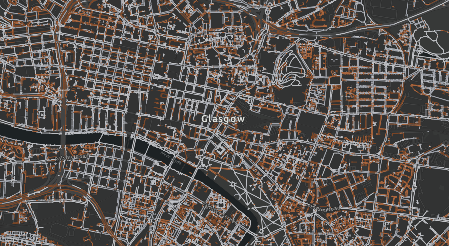
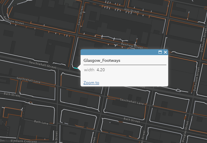
Glasgow City Council – Spaces for People Project Review & Assessment Report
Glasgow City Council has introduced a number of Spaces for People temporary measures as a result of the Covid-19 pandemic; including widened footways, pop-up cycle lanes and pedestrianisation zones using road space, giving priority to those walking, cycling, and wheeling. This report provides an overview of these measures, documents the analysis and evaluation of relevant data, sets out a process to enable an assessment of the individual measures and presents recommendations for either the removal or retention. Glasgow City Council commissioned Sweco to carry out this report.
Glasgow City Council – Spaces for People Project Review & Assessment Report
Travel during the Pandemic
NESTRANS
Nestrans have commissioned Systra to conduct monthly online travel behaviour and attitude surveys between July 2020 and March 2022. The reports provide insight as to how people in the North East of Scotland are traveling and how they expect to travel in the future, as well as finding out their current issues and concerns.
NESTRANS
Public Health Scotland
The report considers how COVID-19 is affecting the use of transport systems, the implications for population health and wellbeing and support for policy responses during the transition through and beyond COVID-19. While the report does not specifically review Spaces for People measures, it does provide it does give an understanding of transport use and attitudes during the pandemic, with particular focus on health and health inequalities. Both the briefing and full report is available below.
Transport use, health and health inequalities: The impact of measures to reduce the spread of COVID-19 – Briefing
Transport use, health and health inequalities: The impact of measures to reduce the spread of COVID-19 A rapid review of evidence in support of a health inequalities impact assessment
Transport Scotland
Transport Scotland is monitoring trends and attitudes to transport during the COVID-19 outbreak. Regular reports provides a snapshot of travel across main modes when compared to a pre-pandemic baseline.
Transport Scotland also carried out a series of telephone surveys with a representative sample of over 16s across Scotland. The survey is aimed at gaining an understanding of the ways in which the COVID-19 pandemic is affecting current travel behaviour and intentions for future travel in Scotland. As of October 2021, 20 waves of the survey have been undertaken, with the highlights of the report available below. The report provides an insight into:
- The frequency participants travelled and mode used for ten different purposes. These questions were asked in the context of the last seven days and prior to the first lockdown.
- Participants were asked about their concerns in relation to people spreading COVID-19 while using public or active travel respectively.
- Participants were asked about their future expected travel behaviour
- Participants were asked about their attitude to public transport, their compliance with travel guidance and the vaccination.
COVID-19 Transport Trend Data
COVID-19 Public Attitudes Survey Data